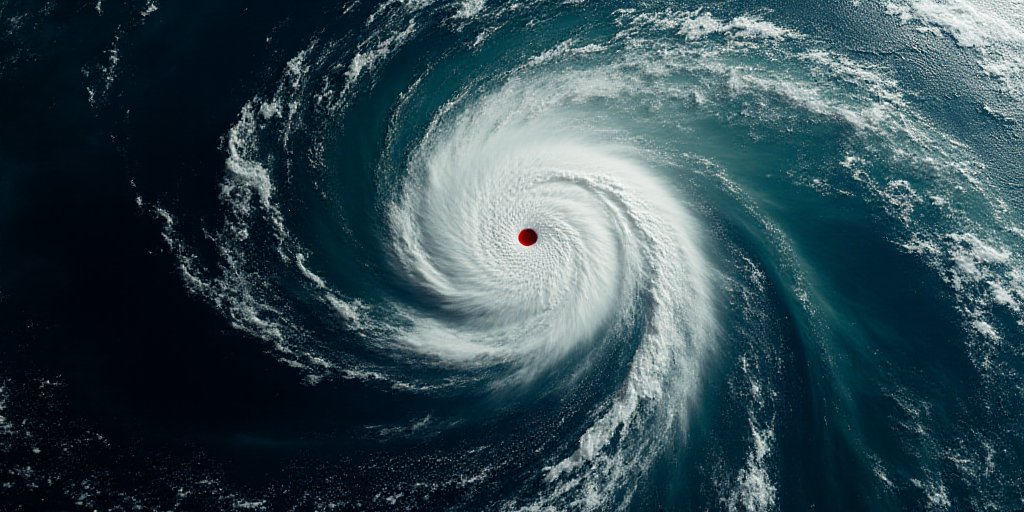
Overview of Hurricane Erick’s Current Status and Path
Hurricane Erick, currently classified as a Category 2 storm on the Saffir-Simpson scale, is located 135 kilometers south of Puerto Ángel, Oaxaca, and 300 kilometers southeast of Punta Maldonado, Guerrero. The storm is expected to intensify further during the late afternoon and nighttime hours on Wednesday, according to Mexico’s National Water Commission (Conagua).
Hurricane Erick’s Current Characteristics
The hurricane’s center is experiencing maximum sustained winds of 175 kilometers per hour, with gusts reaching up to 215 kilometers per hour. It is moving northwest at a speed of 15 kilometers per hour.
Anticipated Weather Conditions
Due to its extensive cloud cover, the hurricane is expected to bring exceptional rainfall in Oaxaca, torrential rains in Guerrero and Chiapas, as well as wind gusts of 150 to 170 kilometers per hour and wave heights of five to six meters along the coasts of Oaxaca and Guerrero.
Precautionary Measures and Impact
The National Meteorological Service (SMN), in coordination with Conagua and the National Hurricane Center in the United States, has established a precautionary zone from Acapulco to Puerto Ángel, Oaxaca, due to the potential for hurricane-force winds.
Given the favorable oceanic and atmospheric conditions for rapid intensification, Hurricane Erick is projected to impact the area overnight on Thursday as a dangerous Category 3 hurricane along the border of Oaxaca and Guerrero.
Potential Consequences
The heavy rainfall may cause landslides, increased river and stream levels, as well as overflowing and flooding in low-lying areas of the affected states. Authorities urge the public to heed SMN warnings and follow Protección Civil recommendations.
Key Questions and Answers
- What is the current status of Hurricane Erick? Hurricane Erick is currently a Category 2 storm on the Saffir-Simpson scale, with maximum sustained winds of 175 kilometers per hour and gusts up to 215 kilometers per hour.
- Where is Hurricane Erick headed? The hurricane is moving towards the coasts of Oaxaca and Guerrero, with its center located 135 kilometers south of Puerto Ángel, Oaxaca, and 300 kilometers southeast of Punta Maldonado, Guerrero.
- What weather conditions can be expected? Exceptional rainfall in Oaxaca, torrential rains in Guerrero and Chiapas, wind gusts of 150 to 170 kilometers per hour, and wave heights of five to six meters are anticipated along the coasts of Oaxaca and Guerrero.
- What precautionary measures have been taken? A precautionary zone has been established from Acapulco to Puerto Ángel, Oaxaca, due to the potential for hurricane-force winds. Authorities urge the public to follow SMN warnings and Protección Civil recommendations.
- What are the potential consequences of Hurricane Erick? Heavy rainfall may cause landslides, increased river and stream levels, overflowing, and flooding in low-lying areas of the affected states.


