
Overview of the Situation
The Mexican National Weather Service (SMN) confirmed the formation of Tropical Storm Fernand in the central Atlantic on Saturday.
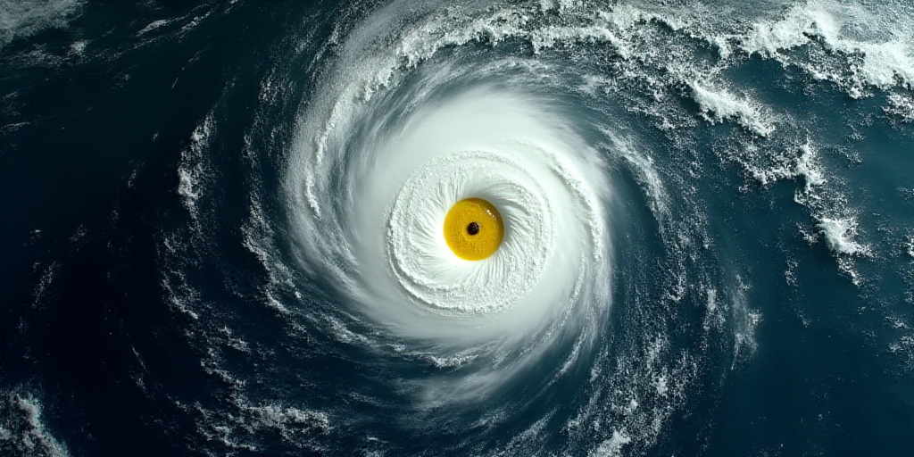
Currently, Fernand is situated approximately 2,660 kilometers east-northeast of the coasts of Quintana Roo. The storm is moving north at 24 km/h, with maximum sustained winds of 65 km/h and gusts reaching up to 85 km/h, maintaining a central minimum pressure of 1010 hectopascals (hPa).
Impact on Mexico
Given its considerable distance from the Mexican coastline, the SMN has stated that Tropical Storm Fernand does not pose a threat to the national territory. The storm’s trajectory and current position indicate that it will continue to move away from Mexico, with no significant effects expected on the country.
Forecast and Future Developments
According to the SMN’s forecast, Tropical Storm Fernand will continue its path, further distancing itself from Mexico. It is anticipated to remain a tropical storm in the coming days, posing no threat to the nation.
Key Questions and Answers
- Q: What is the current status of Tropical Storm Fernand?
A: Tropical Storm Fernand has formed in the central Atlantic and is currently located approximately 2,660 kilometers east-northeast of the coasts of Quintana Roo. - Q: Is Tropical Storm Fernand a threat to Mexico?
A: No, Tropical Storm Fernand does not pose a threat to Mexico due to its considerable distance from the coast and projected trajectory away from the country. - Q: What is the expected movement and intensity of Tropical Storm Fernand?
A: The storm is moving north at 24 km/h and is expected to maintain its intensity as a tropical storm, with maximum sustained winds of 65 km/h and gusts up to 85 km/h. - Q: Will Tropical Storm Fernand impact Mexico in the future?
A: According to the SMN’s forecast, Tropical Storm Fernand will continue moving away from Mexico and is not anticipated to pose any threat to the nation in the coming days.


