
Introduction
The Servicio Meteorológico Nacional (SMN), Mexico’s national weather service, has issued a forecast for Tropical Storm Narda, predicting intense rainfall and the storm’s gradual movement away from Mexico, eventually evolving into a hurricane.
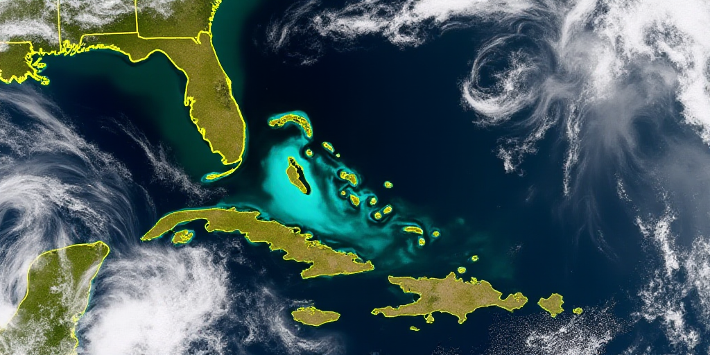
Storm’s Current Status and Path
As of the latest report at 21:00 hours on Monday, Tropical Storm Narda was located approximately 320 kilometers south-southwest of Punta San Telmo in Michoacán and 355 kilometers south-southwest of Manzanillo, Colima. The storm was moving westward at 20 kilometers per hour with maximum sustained winds of 100 kilometers per hour.
Affected Regions
The SMN anticipates heavy to very heavy rainfall in eastern Mexico, the coast of Guerrero, western Michoacán, the coast of Colima, and southwestern Jalisco due to Tropical Storm Narda.
Storm’s Future Development
According to the SMN, Tropical Storm Narda will continue its westward journey at 20 kilometers per hour, gradually moving away from Mexico. However, the storm is expected to strengthen continuously and evolve into a hurricane.
Impact on Mexico
Tropical Storm Narda is expected to bring significant rainfall and potential flooding to the mentioned regions. The evolution of Narda into a hurricane could lead to more severe weather conditions, including strong winds and heavy downpours. This situation may cause disruptions in daily life, transportation, and infrastructure in the affected areas.
Who is the Servicio Meteorológico Nacional (SMN)?
The Servicio Meteorológico Nacional (SMN) is Mexico’s national weather service, a division of the National Water Commission (CONAGUA). It is responsible for monitoring weather conditions, providing forecasts, and issuing warnings to protect life and property in Mexico. The SMN’s role is crucial during events like Tropical Storm Narda, as it helps communities prepare for and respond to potential hazards.
Why is Tropical Storm Narda Relevant?
Tropical Storm Narda is relevant because it poses a threat to several Mexican states, potentially causing flooding, landslides, and other weather-related hazards. Accurate forecasts from the SMN enable local authorities and residents to take necessary precautions, safeguard lives, and minimize damage to property and infrastructure.
Key Questions and Answers
- What is the current status of Tropical Storm Narda? As of the latest report, Tropical Storm Narda is located approximately 320 kilometers south-southwest of Punta San Telmo in Michoacán and 355 kilometers south-southwest of Manzanillo, Colima, with maximum sustained winds of 100 kilometers per hour.
- Which regions will be affected by Tropical Storm Narda? The SMN anticipates heavy to very heavy rainfall in eastern Mexico, the coast of Guerrero, western Michoacán, the coast of Colima, and southwestern Jalisco.
- What is the expected development of Tropical Storm Narda? The storm is predicted to continue moving westward, gradually moving away from Mexico while strengthening continuously and eventually evolving into a hurricane.
- Why is the SMN’s forecast important? The SMN’s accurate weather forecasts and warnings are crucial for helping local authorities and residents prepare for potential hazards, safeguard lives, and minimize damage to property and infrastructure.


