
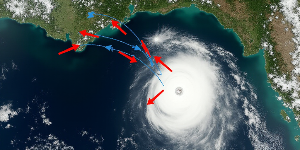
New Cold Front 11 and Dry Line: Wind and Possible Dust Storms
According to the National Weather Service (SMN), Monday, October 27 will feature contrasting weather conditions across Mexico. The arrival of Cold Front 11 in the north and northwest, interaction with a dry line over Coahuila, will bring wind gusts of 35 to 50 km/h and possible dust storms in Chihuahua, Coahuila, Nuevo León, and Tamaulipas. Additionally, elevated swells of up to 3 meters are expected along the western coast of Baja California and 1.5 to 2.5 meters along the Gulf of Tehuantepec, potentially affecting maritime navigation in both regions.
Southeast Rain and Yucatan Peninsula
Low-pressure channels extending over Mexico’s interior and southeast, combined with moisture inflow from the Pacific, the Gulf of Mexico, and the Caribbean Sea, will maintain conditions for scattered rain and showers in western, central, southern, and southeastern Mexico, including the Yucatan Peninsula.
- Heavy rainfall: Expected in Chiapas, Tabasco, and Campeche.
- Scattered showers: Anticipated in Jalisco, Colima, Michoacán, Guerrero, Oaxaca, Veracruz, Yucatán, and Quintana Roo. These precipitations may be accompanied by thunderstorms and cause waterlogging or landslides in mountainous areas.
Warm and Extremely Cold Temperatures
A high-pressure system in mid-atmosphere will continue generating clear skies and warm conditions across most of the country.
- Maximum temperatures: 35 to 40 °C in Baja California, Sonora, Sinaloa, Michoacán, Guerrero, Coahuila, Nuevo León, Tamaulipas, Campeche, and Yucatán.
- Warm temperatures: Ranging between 30 and 35 °C in Nayarit, Jalisco, Colima, Oaxaca, Chiapas, Chihuahua, Durango, San Luis Potosí, Puebla, Veracruz, and Tabasco.
- Extremely cold temperatures: Minimums dropping to 0 or 5 °C in the mountainous regions of Baja California, Chihuahua, Durango, Estado de México, Hidalgo, Tlaxcala, Puebla, Veracruz, and Oaxaca during the early morning hours on Tuesday.
Recommendations
The SMN advises the public to stay informed through official channels of the National Weather Service and Protección Civil regarding the impacts of the new cold front and atmospheric changes expected over the coming hours.
- Heavy rainfall: Could lead to river and stream level increases, as well as waterlogging and flooding in low-lying areas of the southeast.
- Strong winds: May topple trees or advertisements.


