
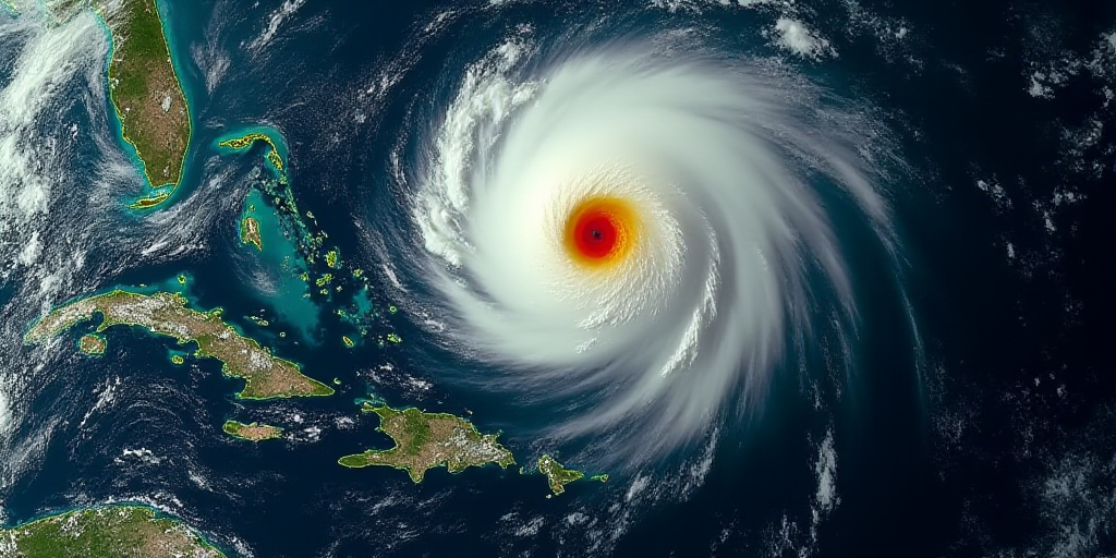
National Weather Service Warns of Intense Rains, Strong Winds, and Temperature Drop
The Mexican National Water Commission (CONAGUA) and the National Civil Protection Coordination (CNPC) have issued warnings about intense rains, strong winds, and a significant drop in temperature as Cold Front 13 enters northern and northeastern Mexico during the night of Saturday, November 8 and early morning on Sunday, November 9.
Regional Impacts and Expected Precipitation
As the cold front moves rapidly through the northeast, east, southeast, and the Yucatan Peninsula, the following effects are anticipated:
- Heavy Rains: 150 to 250 millimeters (mm) in Veracruz, Oaxaca, Chiapas, and Tabasco.
- Intense Rains: 75 to 150 mm in Puebla, Campeche, and Quintana Roo.
- Very Strong Rains: 50 to 75 mm in Tamaulipas, San Luis Potosí, Hidalgo, Querétaro, and Yucatán.
These precipitations could lead to waterlogging, increased river and stream levels, landslides, and flooding in low-lying areas of these states.
Strong Winds and Temperature Changes
The associated cold air mass will generate a very strong to intense “North” event, with wind gusts of 70 to 100 kilometers per hour (km/h) and high waves of 2 to 4 meters along the coasts of Tamaulipas, Veracruz, Isthmus, and the Gulf of Tehuantepec (Oaxaca and Chiapas).
In northern regions, wind gusts up to 70 km/h and possible thunderstorms are expected in Chihuahua and Coahuila, along with minimum temperatures potentially dropping below 0 °C in mountainous areas of northern and northeastern regions.
Proactive Measures by CNPC
The National Civil Protection Coordination (CNPC) is in communication with state protection units to coordinate preventive actions, particularly in states where the frontal system’s effects are expected to be most significant. The aim is to safeguard the population and minimize risks.
Key Questions and Answers
- What is a cold front? A cold front is a boundary separating cold polar air from warmer air. As it moves, it brings cooler temperatures and can cause significant weather changes.
- Which states will be most affected by Cold Front 13? Veracruz, Oaxaca, Chiapas, Tabasco, Puebla, Campeche, Quintana Roo, Tamaulipas, San Luis Potosí, Hidalgo, Querétaro, and Yucatán are expected to experience the most significant impacts.
- What types of hazards should residents in these states be prepared for? Residents should anticipate heavy to very strong rains, which could lead to waterlogging, increased river and stream levels, landslides, and flooding in low-lying areas. Strong winds and potential thunderstorms are also expected, with gusts up to 100 km/h and high waves along coastal regions.
- What actions are being taken to ensure public safety? The National Civil Protection Coordination (CNPC) is coordinating with state protection units to implement preventive measures and safeguard the population from potential risks associated with Cold Front 13.


