
Heavy Rains and Flooding Risk in Tamaulipas and Chiapas
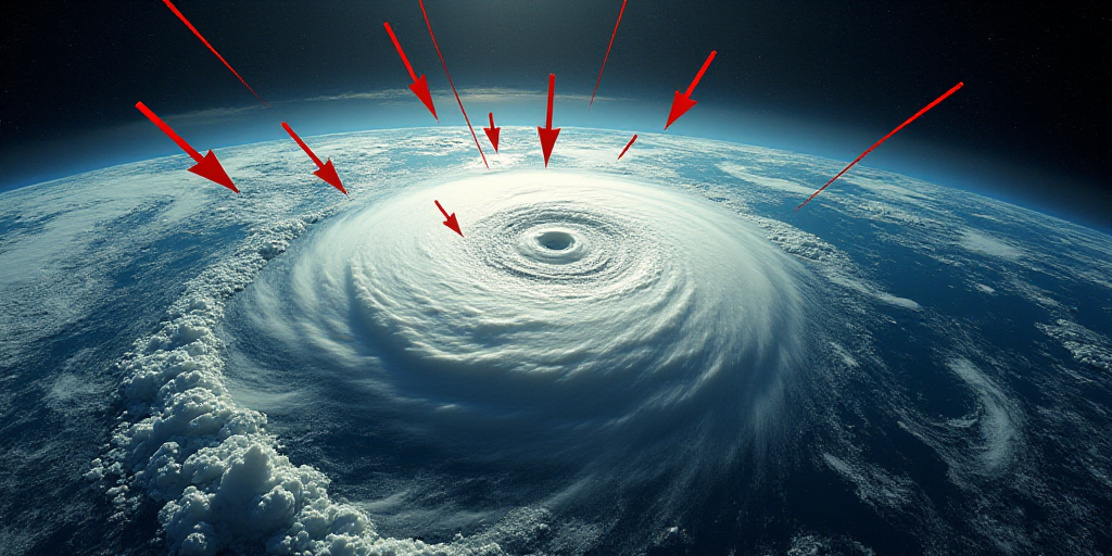
On December 14, a significant cold front, number 21, reinforced by a polar air mass, will move across northeastern and eastern Mexico. This frontal system, along with a low-pressure area over the Gulf, will bring intense rainfall to central Tamaulipas and northern and eastern Chiapas. These precipitations may include thunderstorms, causing river and stream levels to rise, leading to potential landslides and flooding in low-lying areas.
Additionally, very strong rains are expected in Nuevo León, San Luis Potosí (Huasteca), Querétaro (Sierra Gorda), Hidalgo, as well as mountainous regions of Puebla, Veracruz, Oaxaca, and Quintana Roo.
Cold Weather and Fog Formation
The polar air mass will cause a marked drop in temperatures across northern, northeastern, central, eastern, and southeastern Mexico. This will result in fog along the Sierra Madre Oriental.
During the early hours of Monday, minimum temperatures could range from -10 to -5°C in the mountainous areas of Chihuahua and Durango, and from -5 to 0°C in the Sierra de Baja California, Sonora, Zacatecas, Estado de México, Tlaxcala, and Puebla.
North Winds Event: Up to 90 km/h in Tehuantepec
The cold front will trigger a north winds event with varying intensities:
- Isthmus and Gulf of Tehuantepec: wind gusts from 70 to 90 km/h and wave heights of 2.5 to 3 meters.
- Tamaulipas Coast: wind gusts from 50 to 70 km/h and wave heights of 2 to 3 meters.
- Veracruz, Tabasco, Campeche, Yucatán, and Quintana Roo coasts: wind gusts from 40 to 60 km/h and wave heights of 1 to 2 meters during the night.
The National Weather Service warns that these conditions may bring down trees, billboards, and lightweight structures.
Showers in the Center; Mexico City with Isolated Rains
The arrival of Pacific moisture and atmospheric instability will maintain showers in Michoacán, Guerrero, Estado de México, and Tlaxcala, along with isolated rains in the Mexico City area, Morelos, Jalisco, and Colima.
For the Valley of Mexico, expect mostly cloudy skies, cooler temperatures, and a chance of light drizzle in the evening.
Warm Temperatures in Southern Pacific
Despite the cold conditions in interior regions, southern Pacific coastal areas will maintain high temperatures, with maximums ranging from 35 to 40°C in Sinaloa, Nayarit, Jalisco, Colima, Michoacán, Guerrero, Oaxaca, and Chiapas. In Morelos, Tabasco, Campeche, Yucatán, and Quintana Roo, maximums will oscillate between 30 and 35°C.
Key Questions and Answers
- What is causing the weather changes? A cold front, number 21, reinforced by a polar air mass is causing the weather changes.
- Which regions will experience heavy rains and flooding risks? Central Tamaulipas, northeastern Chiapas, and coastal areas of Veracruz, Nuevo León, San Luis Potosí, Querétaro, Hidalgo, and mountainous regions of Puebla, Veracruz, Oaxaca, and Quintana Roo will face heavy rains and flooding risks.
- Where will the coldest temperatures be felt? Northern, northeastern, central, eastern, and southeastern Mexico will experience the coldest temperatures.
- What wind conditions are expected? North winds event with varying intensities, up to 90 km/h in the Isthmus and Gulf of Tehuantepec, and 1 to 2 meters wave heights along the coasts of Veracruz, Tabasco, Campeche, Yucatán, and Quintana Roo.
- Which areas will have showers? Michoacán, Guerrero, Estado de México, Tlaxcala, and the Mexico City area will experience showers. The Valley of Mexico may have light drizzles in the evening.
- Where will it be warmest? The southern Pacific coastal areas, including Sinaloa, Nayarit, Jalisco, Colima, Michoacán, Guerrero, Oaxaca, and Chiapas, will maintain high temperatures.


