
Overview of the Weather Forecast
According to Mexico’s National Meteorology Service (SMN), the upcoming days will bring moderate to very heavy rainfall across extensive regions of the country, along with strong winds and cold mornings, particularly in Pacific coastal areas. Here’s a detailed breakdown of what to expect:
Monday, December 22
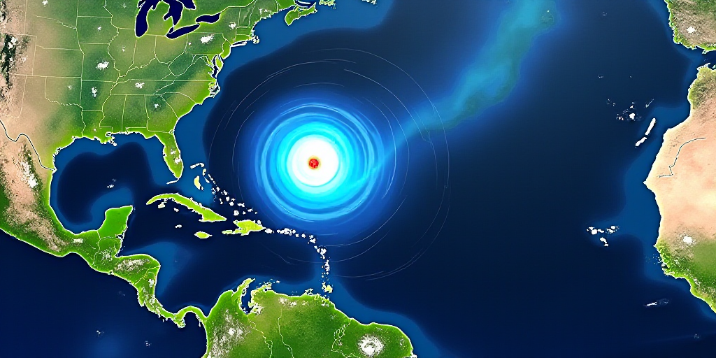
- Low-pressure channels over northeastern, eastern, and southeastern Mexico will combine with moisture from the Pacific Ocean and Gulf of Mexico to generate showers and heavy rainfall, with extremely heavy rainfall possible in Puebla, Veracruz, and Oaxaca. The Yucatan Peninsula is also expected to see significant rainfall.
- Although Cold Front 23 will weaken and dissipate by Monday, it will still cause wind gusts of up to 50 kilometers per hour in the northeast. Meanwhile, a persistent north event and wind gusts of 60 to 80 kilometers per hour will continue in the Isthmus and Gulf of Tehuantepec, along with high waves.
- Cold temperatures will persist during mornings in northern and central states, with potential frost in mountainous areas of Chihuahua, Durango, the State of Mexico, Puebla, Tlaxcala, and Sonora, with temperatures near or below freezing.
Midweek Weather Conditions
From Tuesday, December 23, to Wednesday, December 24:
- Low-pressure channels will continue to bring the likelihood of heavy to very heavy rainfall in the southeast, particularly in Quintana Roo, Veracruz, Oaxaca, Chiapas, Tabasco, Campeche, and Yucatan.
- A high-level atmospheric trough and the approach of another cold front to northwestern Mexico will cause heavy rainfall in Baja California, along with wind gusts of up to 70 kilometers per hour in that region and the Gulf of California.
- Despite precipitation, an anticyclone will favor stable and rain-free conditions in most of the north and west, with rising afternoon temperatures. Coastal areas in the Pacific, such as Sinaloa, Nayarit, Jalisco, Colima, Michoacán, and Guerrero, are expected to have maximum temperatures between 35 and 40 degrees Celsius.
Christmas Day Forecast
For Thursday, December 25:
- Showers and localized heavy rainfall are expected in the southeast, including Quintana Roo, Veracruz, Oaxaca, and Chiapas, as well as isolated rainfall in central Mexico, including the capital city.
- The north event will continue to affect the Tehuantepec Isthmus, with wind gusts of up to 80 kilometers per hour, while elevated waves will persist along the southern and Caribbean coasts.
Key Questions and Answers
- What is causing the heavy rain and strong winds in Mexico? A combination of low-pressure channels, moisture from the Pacific Ocean and Gulf of Mexico, and a weakening cold front is causing the weather conditions.
- Which regions will experience the most severe weather? The southeastern states, particularly Quintana Roo, Veracruz, Oaxaca, Chiapas, Tabasco, Campeche, and Yucatan, will see heavy rainfall and strong winds.
- What precautions should people take? The SMN advises the public to stay informed about official alerts, as heavy rain may be accompanied by thunderstorms, cause low-lying flooding, and strong winds could lead to falling trees and billboards.


