
Overview
Cold Front 27 will start to exert its influence over northern and northeastern Mexico, bringing a gradual drop in temperatures as the day and night progress. Cold to very cold conditions are expected during early morning hours across much of the national territory, according to Mexico’s National Weather Service (SMN).
Friday’s Forecast
By the end of Friday, Cold Front 27 will begin to strengthen its impact on the northeast, including states like Nuevo León, Tamaulipas, and San Luis Potosí, with rain and isolated showers. Meanwhile, in the northwest, strong winds associated with jet stream currents will persist, particularly in Baja California and the Gulf of California.
In central Mexico, including the capital, mostly clear skies are expected but with low nighttime and early morning temperatures. There’s a possibility of frost in higher elevation areas.
Saturday, January 10 Forecast
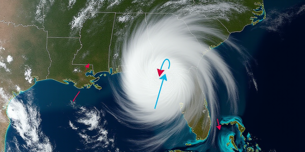
On Saturday, Cold Front 27 will move eastward across the country and the Gulf of Mexico, driven by a polar air mass causing a significant temperature drop across much of Mexico. Variable intensity rainfall is expected in central, eastern, and southeastern regions, with intense precipitation possible in Puebla, Veracruz, Oaxaca, Chiapas, and Tabasco.
In the north and Mesa del Norte, very cold conditions will continue, with a chance of snow or freezing rain at night in mountainous areas of Durango, Coahuila, and Nuevo León.
An intense North event is also forecast along the Gulf of Mexico coastline, particularly in Veracruz, accompanied by very strong winds and high waves.
Sunday, January 11 Forecast
On Sunday, the interaction between Cold Front 27 and the winter storm will intensify winter conditions, maintaining very low temperatures during early morning hours in the north, center, and east. Freezing conditions and snow or freezing rain are expected not just in northern entities but also on mountain peaks in central and eastern regions. Strong rainfall will continue in the southeast, particularly in Veracruz, Oaxaca, Chiapas, and Tabasco.
The North event will persist with strong winds and high waves along the Gulf of Mexico, the Isthmus, and Tehuantepec Gulf, which could lead to coastal impacts.
Recommendations Amid Winter Conditions
The National Weather Service warns that intense rainfall may cause landslides, waterlogging, and river/stream level increases. Strong winds pose a risk of falling trees and outdoor advertisements. It is advised to take precautions due to the temperature drop, protect vulnerable populations, and stay tuned to official advisories during this winter event.
Key Questions and Answers
- What is Cold Front 27? Cold Front 27 is a weather system bringing colder temperatures and precipitation to Mexico.
- Which states will be affected by Cold Front 27? Nuevo León, Tamaulipas, San Luis Potosí, Baja California, Durango, Coahuila, Nuevo León, Puebla, Veracruz, Oaxaca, Chiapas, Tabasco, and the central region including Mexico City will experience impacts.
- What types of weather can be expected? Expect a drop in temperatures, rain, snow, freezing rain, and strong winds across various regions.
- What precautions should be taken? Take measures against the temperature drop, safeguard vulnerable populations, and stay informed about official weather advisories.


