
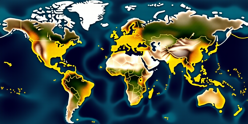
On July 30, 2025, a magnitude 8.8 earthquake struck Russia’s Kamchatka Peninsula, triggering tsunami alerts across the Pacific Ocean from Japan and Hawaii to the western coast of the United States, Central America, and Oceania.
The powerful quake, one of the most intense in decades and the eighth strongest recorded in modern times, occurred less than 20 kilometers below the surface. It generated waves up to 4 meters high along nearby coastal areas, prompting evacuations and causing significant material damage.
Kliuchevskoi Volcano Awakens
Following the potent earthquake, Kliuchevskoi volcano, Eurasia’s tallest and most active, erupted violently. The volcano expelled ash and incandescent material from its 700-meter-wide main crater. Lava flows descended the volcano’s western slope, surprising scientists as it had been dormant for several months.
Experts believe the strong seismic shaking likely altered internal pressure in the magma system, facilitating the release of accumulated magma. With over a hundred eruptions recorded in the past 3,000 years, this giant has shown sensitivity to such tectonic alterations, posing an additional risk for nearby populations.
Why is Kamchatka So Seismically Active?
Kamchatka lies in one of the planet’s most seismically active zones, the Kurile-Kamchatka trench. Here, the massive Pacific tectonic plate subducts beneath the Okhotsk plate. This process, known as subduction, accumulates constant tectonic stress, which is periodically released in the form of large earthquakes.
This isn’t a new phenomenon; in 1952, a similar quake near magnitude 9 triggered a tsunami with waves up to 18 meters high. The recent quake follows the same physical mechanism—a sudden fracture along this active fault.
Magnitude, Depth, and Energy Released
The US Geological Survey estimated the quake’s magnitude at 8.8, with a hypocenter located about 18.2 kilometers deep. This combination generates colossal energy release, equivalent to thousands of Hiroshima atomic bombs.
To put it in perspective, it was approximately 30 times stronger than the Kaikoura quake (2016, New Zealand) and comparable, though slightly less, to the Tōhoku quake (2011, Japan). Moreover, aftershocks are expected in the coming days or weeks, some potentially destructive.
When the Sea Becomes a Threat
The associated tsunami resulted from the vertical displacement of the seafloor during the quake. This sudden alteration of the ocean floor displaces massive volumes of water, generating waves that can cross the ocean at speeds over 700 km/h.
As they approach the coast, wave speed decreases, but their height increases significantly. In Russian towns like Severo-Kurilsk, waves exceeded 3 meters high, while in Japan, though of lower intensity (around 60 cm), the alert remained active for several hours.
From Japan to America, the Ocean Tests Early Warning Systems
The international response was immediate. Japan ordered the evacuation of around 2 million people, including workers at the Fukushima nuclear plant. The United States activated alerts in Hawaii, Alaska, and the entire western coast, including California and Oregon. In Latin America, countries like Peru, Ecuador, and Mexico also initiated their emergency protocols.
Although waves were moderate in most of these regions, preventive measures avoided potential tragedies. The good coordination between seismological and meteorological agencies during this emergency demonstrates the value of international cooperation in managing real-time risks, preventing material damage, and saving lives.
What Does Science Tell Us About These Phenomena?
Each earthquake of this magnitude offers an opportunity for scientific advancement. Data collected by seismographs, satellites, and ocean buoys allow geophysicists to study seismic wave propagation and tsunamis more accurately. Moreover, they test prediction models and improve early warning systems.
Thanks to these advances, populations can be warned minutes in advance, a timeframe that could save thousands of lives.
A Historical Context of Extreme Seismic Activity
Although not the largest quake ever recorded, Kamchatka’s earthquake places it among the most intense in recent history. Its magnitude ranks it with devastating quakes like Sumatra’s (2004) and Tōhoku’s (2011). This region has experienced other significant quakes in the past, like those of 1952 and 1737, which triggered tsunamis up to 60 meters high.
This history reminds us that Kamchatka is one of the most active and dangerous zones within the Pacific “Ring of Fire”.
Are We Prepared for the Next Major Earthquake?
The event has tested the response capacity of affected countries. While protocols have functioned reasonably well, there are still noticeable differences between regions regarding infrastructure, technical means, and public preparedness.
In less developed or communication-limited areas, reaction capabilities remain limited. Prevention through education, earthquake-resistant architecture, and strengthening early warning networks is crucial for facing future events of this magnitude.
The Silent Warning from Below
Kamchatka’s earthquake is a stark reminder of nature’s power and the need for preparedness. Its impact extends beyond physical effects, influencing social and scientific aspects.
It reminds us we live on a dynamic, ever-changing planet. Geoscientific vigilance and international cooperation are indispensable tools for reducing risks. Understanding these phenomena, anticipating them, and acting swiftly can make the difference between containing a disaster and facing a tragedy.
Tsunami Alerts Across the Pacific
The international response was swift and coordinated. Japan ordered the evacuation of around 2 million people, including workers at the Fukushima nuclear plant. The United States activated alerts in Hawaii, Alaska, and the entire western coast, including California and Oregon. In Latin America, countries like Peru, Ecuador, and Mexico also initiated their emergency protocols.
Although waves were moderate in most of these regions, preventive measures avoided potential tragedies. The good coordination between seismological and meteorological agencies during this emergency demonstrates the value of international cooperation in managing real-time risks, preventing material damage, and saving lives.
Scientific Insights from Seismic Events
Each earthquake of this magnitude offers an opportunity for scientific advancement. Data collected by seismographs, satellites, and ocean buoys allow geophysicists to study seismic wave propagation and tsunamis more accurately. Moreover, they test prediction models and improve early warning systems.
Thanks to these advances, populations can be warned minutes in advance, a timeframe that could save thousands of lives.
Kamchatka’s History of Seismic Activity
Although not the largest quake ever recorded, Kamchatka’s earthquake places it among the most intense in recent history. Its magnitude ranks it with devastating quakes like Sumatra’s (2004) and Tōhoku’s (2011). This region has experienced other significant quakes in the past, like those of 1952 and 1737, which triggered tsunamis up to 60 meters high.
This history reminds us that Kamchatka is one of the most active and dangerous zones within the Pacific “Ring of Fire”.
Preparation for Future Earthquakes
The event has tested the response capacity of affected countries. While protocols have functioned reasonably well, there are still noticeable differences between regions regarding infrastructure, technical means, and public preparedness.
In less developed or communication-limited areas, reaction capabilities remain limited. Prevention through education, earthquake-resistant architecture, and strengthening early warning networks is crucial for facing future events of this magnitude.


