
Introduction
Mexico is bracing for extreme weather conditions this week, with intense to extraordinary rainfall, high waves, strong winds, and temperatures potentially exceeding 45°C, according to the National Weather Service (SMN).
Rainfall from Sunday to Monday
Starting Sunday and through Monday morning, the tropical storm Dalila, combined with tropical wave number 3, a low-pressure system, and increased humidity, will bring intense to very heavy rainfall in Nayarit, Jalisco, Oaxaca, Chiapas, and Veracruz. Sinaloa, Michoacán, Guerrero, and several central states may also experience heavy rainfall. Additionally, waves up to 3.5 meters are expected along the coasts of Colima and Jalisco, with wind gusts reaching 70 km/h. Dalila is expected to dissipate during Sunday night or Monday morning.
Monday, June 16: Heavy Rains and Extreme Heat
Tropical wave number 3 will merge with a low-pressure system with a high likelihood of cyclone development south of Chiapas, increasing rainfall in southeastern Mexico. Intense precipitation is forecasted for Puebla, Veracruz, Oaxaca, and Chiapas. Jalisco, Michoacán, and Guerrero may also experience severe rainfall. Meanwhile, a heatwave will persist in the north, with temperatures surpassing 45°C in Baja California, Sonora, and Chihuahua.
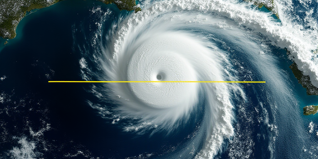
Tuesday to Thursday, June 17-19: Possible Cyclone and Extraordinary Rainfall
Starting Tuesday, the low-pressure system south of the country is expected to evolve into a tropical storm in the Gulf of Tehuantepec, potentially making landfall in Oaxaca by Thursday. During these days, the following weather conditions are anticipated:
- Tuesday, June 17: Intense rainfall in Puebla, Veracruz, Oaxaca, and Chiapas.
- Wednesday, June 18: Torrential rainfall in Oaxaca and Chiapas, with wind gusts up to 120 km/h along the Oaxaca coast.
- Thursday, June 19: Extraordinary rainfall (over 250 mm) in Oaxaca, and waves up to 5 meters along the coasts of Oaxaca and Chiapas.
The southeast and east regions of the country will be most affected, though heavy rainfall is also expected in the Valley of Mexico, western areas, and several northern entities.
Ongoing Risks
The SMN warns that heavy rainfall may cause landslides, river overflows, and flooding in low-lying areas. Strong winds and high waves could impact lightweight structures and coastal zones, while extreme heat increases the risk of wildfires.
Given these conditions, the population is advised to stay informed and follow instructions from local authorities and civil protection agencies.
Key Questions and Answers
- What weather systems are affecting Mexico? Tropical storm Dalila, tropical wave number 3, a low-pressure system, and increased humidity are causing heavy rainfall and strong winds across several Mexican states.
- Which regions will be most affected by the weather? The southeast and east regions of Mexico, including states like Oaxaca, Veracruz, Chiapas, and parts of the Valley of Mexico, will experience the most severe weather conditions.
- What hazards should residents be aware of? Residents should be prepared for landslides, river overflows, flooding, damaged lightweight structures, and increased wildfire risk due to extreme heat.
- How can people stay safe? Staying informed through official channels and adhering to instructions from local authorities and civil protection agencies is crucial during these extreme weather events.


