
Heavy Rains and Thunderstorms Across Multiple Regions
According to the National Weather Service (SMN), significant rainfall and contrasting temperatures are expected across much of the country on this Sunday.
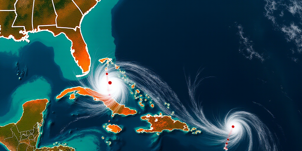
- Low-pressure system south of Baja California Peninsula: This weather phenomenon, combined with the passage of Tropical Wave Number 32, will bring intense rainfall to Veracruz, Oaxaca, and Chiapas. Heavy rainfall is also expected in Guerrero, Puebla, Jalisco, Tabasco, Campeche, Yucatán, and Quintana Roo.
- Fertile regions for rainfall: States like Colima, Michoacán, Hidalgo, Querétaro, San Luis Potosí, Tamaulipas, Nuevo León, and Coahuila will experience strong rains. Meanwhile, the Mexico City metropolitan area, Morelos, Tlaxcala, Guanajuato, and Zacatecas will see scattered showers accompanied by thunderstorms.
The SMN warns that these rains may reduce visibility on roads, cause flooding, landslides, and elevate river and stream levels.
Wind, Waves, and Potential Hail
Along with the rainfall, strong winds are forecasted in regions of Sonora and Coahuila, as well as in areas of Chihuahua, Nuevo León, Durango, and Zacatecas, with gusts ranging from 40 to 60 km/h.
Significant waves, up to two meters high, are expected along the coasts of Baja California Sur, Jalisco, Colima, Michoacán, Guerrero, Oaxaca, and Chiapas.
Thunderstorms may include hail, particularly in the higher elevations of Jalisco, Michoacán, Oaxaca, Chiapas, Tamaulipas, and Veracruz.
Mexico City Valley Anticipates Cloudy Skies and Showers
In the Mexico City Valley, cooler mornings are expected to give way to warmer afternoons with cloudy skies and a likelihood of showers in Mexico City and stronger rains in the State of Mexico. The maximum temperature in the capital will be between 23 and 25 °C.
Warm Temperatures Prevail in Northern and Southeastern Regions
Despite the expected rainfall, warm to hot conditions will persist across northern and southeastern states, with temperatures reaching 35 to 40 °C in the northwest, northeast, western regions, and the Yucatan Peninsula.
Key Questions and Answers
- What weather conditions are expected across Mexico today? Significant rainfall, thunderstorms, and strong winds are forecasted in multiple regions of the country.
- Which states will experience heavy rainfall? Veracruz, Oaxaca, Chiapas, Guerrero, Puebla, Jalisco, Tabasco, Campeche, Yucatán, Quintana Roo, Colima, Michoacán, Hidalgo, Querétaro, San Luis Potosí, Tamaulipas, Nuevo León, and Coahuila will see heavy to strong rains.
- Where are strong winds expected? Sonora, Coahuila, Chihuahua, Nuevo León, Durango, and Zacatecas will experience wind speeds ranging from 40 to 60 km/h.
- What additional weather phenomena are forecasted? Significant waves along coastal regions and potential hailstorms, especially in higher elevations of Jalisco, Michoacán, Oaxaca, Chiapas, Tamaulipas, and Veracruz.
- What is the weather like in the Mexico City Valley? Cooler mornings will transition to warmer afternoons with cloudy skies and showers expected in Mexico City, while the State of Mexico anticipates stronger rains. Maximum temperatures in the capital will be between 23 and 25 °C.
- How will temperatures be affected across the country? Despite the rainfall, warm to hot conditions will persist in northern and southeastern regions, with temperatures reaching 35 to 40 °C.


