
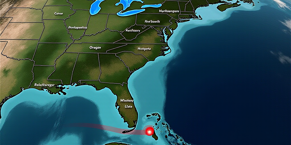
Mario’s Remnants Bring Heavy Rains to Western Mexico
According to the National Weather Service (SMN), intense to very heavy rains are forecasted for various regions of Mexico today, with a particular focus on the western and southern parts due to the remnants of Mario, a low-pressure system located off the coasts of Colima and Jalisco.
- Mario’s Position: Approximately 130 km southwest of Manzanillo, Colima.
- Movement: Traveling west-northwest at 22 km/h.
- Impact: Mario’s cloud shedding will cause heavy to very heavy rainfall in Jalisco and Colima, with intense rainfall expected in Michoacán. These conditions may lead to waterlogging, landslides, elevated river levels, and reduced visibility on roadways.
- Wind and Waves: Winds of 20 to 30 km/h with gusts up to 40 to 60 km/h, and waves of 1.5 to 2.5 meters are expected along the coasts of Jalisco, Colima, and Michoacán. There is a possibility of waterspouts in coastal areas.
Southern and Southeastern Mexico to Experience Rainfall
The Mexican monsoon and the 32nd tropical wave will maintain cloudy skies across much of the country, with intense rainfall expected in southern Veracruz, northeastern Oaxaca, Chiapas, and southwestern regions. These precipitations will be accompanied by thunderstorms and a chance of hail.
- Heavy Rainfall Regions: Intense rainfall is forecasted for southern Veracruz, northeastern Oaxaca, Chiapas, Guerrero, Tabasco, Campeche, and Quintana Roo. Very heavy rainfall is expected in Baja California Sur, Sonora, Chihuahua, Durango, Sinaloa, Nayarit, Estado de México, Ciudad de México, Morelos, Puebla, Tamaulipas, and Yucatán.
High Temperatures in the North
In contrast, northern states like Sonora, Chihuahua, Sinaloa, and Nayarit are expected to reach temperatures up to 40 °C. Meanwhile, Baja California Sur, Durango, Coahuila, Nuevo León, and Tamaulipas will see maximum temperatures ranging from 30 to 35 °C.
The SMN warns of wind gusts up to 70 km/h in Coahuila and up to 50 km/h in Baja California, Sonora, Chihuahua, and other northern and western regions. Additionally, waves up to two meters high are expected along the coasts of Jalisco, Colima, Michoacán, Guerrero, Oaxaca, Chiapas, and the western coast of the Baja California Peninsula.
Key Questions and Answers
- What is causing the heavy rainfall in Mexico today? The remnants of Mario, a low-pressure system located off the coasts of Colima and Jalisco, are causing intense to very heavy rains in western and southern Mexico.
- Which regions will experience heavy rainfall? Southern Veracruz, northeastern Oaxaca, Chiapas, Guerrero, Tabasco, Campeche, Quintana Roo, and several central states will see heavy to very heavy rainfall.
- What are the expected temperatures in different regions? Northern states like Sonora, Chihuahua, Sinaloa, and Nayarit will reach up to 40 °C, while Baja California Sur, Durango, Coahuila, Nuevo León, and Tamaulipas will have maximum temperatures between 30 to 35 °C. Meanwhile, western and southern regions will experience milder temperatures.
- What precautions should be taken due to the weather conditions? Authorities advise extreme caution and adherence to recommendations from the National System of Civil Protection due to possible waterlogging, landslides, elevated river levels, reduced visibility, strong winds, and waterspouts along the coasts.


