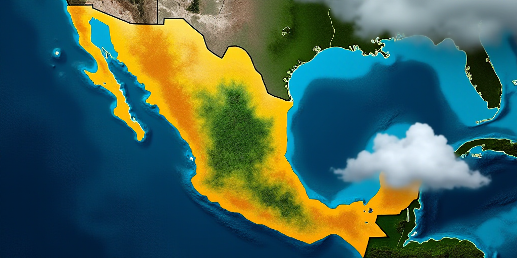
Overview of the Weather Conditions
The beginning of the week will be marked by adverse weather conditions across much of the country due to the interaction of the second winter storm of the season and Cold Front 27, according to the National Meteorological Service (SMN). These phenomena will maintain cold to freezing conditions, heavy rains, and strong winds throughout the nation.
Heavy Rains and Flooding Risk
On Monday, January 12th, Cold Front 27 will stall over southeastern Mexico, causing intense to locally torrential rains in Veracruz, Chiapas, Tabasco, Oaxaca, Campeche, Yucatán, and Quintana Roo. These rains may be accompanied by thunderstorms, leading to increased river and stream levels, landslides, and flooding in low-lying areas, particularly in the Gulf of Mexico and southeastern regions.
Strong Winds and “Norte” Event
The associated polar air mass will result in a “Norte” event with strong to very strong winds, potentially reaching 80 to 100 kilometers per hour in the Isthmus and Tehuantepec region, as well as along the Veracruz and Tabasco coasts. This will generate high waves, up to six meters in height, and it is advised to exercise extreme caution in coastal areas and maritime activities.
Extreme Cold, Snow, and Freezing Rain
In the northwest, north, and northeast regions, the second winter storm will maintain very cold to freezing conditions, with a possibility of snow or sleet in Chihuahua, Durango, Coahuila, Nuevo León, Zacatecas, and the mountainous areas of Sinaloa. Freezing rain is also expected in some parts of Chihuahua, Durango, and Zacatecas.
By early Tuesday morning, minimum temperatures are expected to drop to as low as -15°C in mountainous areas of Durango and below-zero temperatures across extensive regions in the north and center, potentially leading to the formation of ice and affecting road mobility.
Outlook for Upcoming Days
By mid-week, the second winter storm will move towards the United States, reducing its direct impact on Mexico. However, Cold Front 27 will continue to influence the southeast and Yucatan Peninsula, maintaining rain, northerly winds, and low morning and nighttime temperatures.
Key Questions and Answers
- What weather systems are affecting Mexico? The second winter storm and Cold Front 27 are causing adverse weather conditions, including heavy rains, strong winds, and freezing temperatures.
- Which regions will be most affected by heavy rains and flooding? Southeastern states, particularly Veracruz, Chiapas, Tabasco, Oaxaca, Campeche, Yucatán, and Quintana Roo, are at risk of heavy rains, thunderstorms, and potential flooding.
- What should coastal residents and maritime activities expect? High waves, up to six meters in height, are expected due to strong winds. Extreme caution is advised for coastal areas and maritime activities.
- Which regions will experience extreme cold, snow, and freezing rain? The northwest, north, and northeast regions will face very cold to freezing conditions, with snow or sleet possible in Chihuahua, Durango, Coahuila, Nuevo León, Zacatecas, and Sinaloa’s mountainous areas. Freezing rain is also expected in some parts of Chihuahua, Durango, and Zacatecas.
- What are the temperature forecasts for early Tuesday? Minimum temperatures are expected to drop to as low as -15°C in Durango’s mountainous areas, with below-zero temperatures across extensive regions in the north and center.
The SMN advises the public to stay vigilant for official alerts, take extra precautions against cold, heavy rains, and strong winds, and follow instructions from civil protection authorities, especially in mountainous and coastal areas.