
Overview of the Weather Forecast
On Saturday, September 6, Mexico will experience a mix of contrasting weather conditions. Intense rainfall is expected across almost the entire territory, while some regions will see temperatures exceeding 40°C. The National Weather Service (SMN) has issued a morning advisory detailing how phenomena such as the Mexican monsoon, low-pressure channels, and incoming humid air will influence weather conditions.
Rainfall: From Showers to Intense Storms
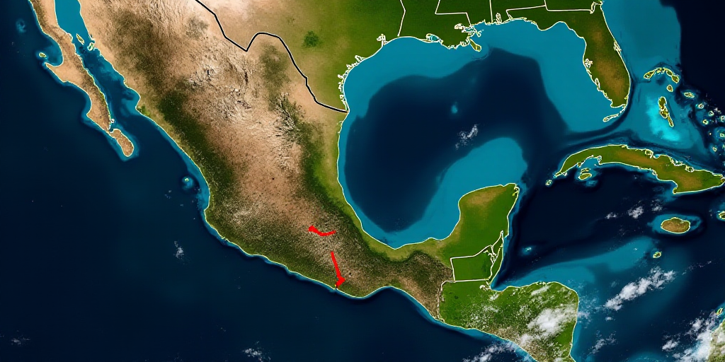
The forecast predicts intense rainfall in Durango, accompanied by thunderstorms and a possible hail. Zacatecas, Nuevo León, and Tamaulipas will also experience very strong rainfall. Meanwhile, states like Sonora, Sinaloa, Chihuahua, Jalisco, Colima, Michoacán, the State of Mexico, Puebla, Guerrero, Oaxaca, Chiapas, Veracruz, Yucatán, and Quintana Roo can expect strong rainfall.
In the Mexico City metropolitan area, the day will start cool with fog in higher elevations. By afternoon, scattered showers with a chance of thunderstorms and hail are expected, potentially causing waterlogging and fallen trees or downed power lines. The capital will see temperatures ranging from 12 to 14°C in the morning, with highs between 25 to 27°C.
Extreme Heat: Southern and Southeastern Regions Affected
Despite the rain, an extremely hot environment will persist. Campeche and Yucatán are expected to have maximum temperatures between 40°C and 45°C. In Baja California Sur, Sonora, Sinaloa, Nayarit, Michoacán, Guerrero, Oaxaca, Chiapas, Tabasco, Quintana Roo, and much of northern Mexico, temperatures will range from 35°C to 40°C.
In contrast, mountainous areas of the State of Mexico, Puebla, and Tlaxcala will have minimum temperatures between 0°C and 5°C at dawn.
Wind and Waves
The forecast indicates wind gusts of 40 to 60 km/h in northern and central Mexico, as well as coastal entities like Tamaulipas, Campeche, Yucatán, and Quintana Roo. These conditions may lead to fallen trees, downed power lines, or damaged lightweight structures.
Along the Pacific coast, from Baja California Sur to Chiapas, waves of 1.5 to 2.5 meters are expected, particularly in Jalisco, Colima, Michoacán, Guerrero, and Oaxaca’s coasts.
Regional Breakdown
- Pacific North and Central: Strong rainfall in Sonora, Sinaloa, Jalisco, Colima, and Michoacán with a hot environment; possible hail in mountainous areas.
- Pacific South: Thunderstorms in Guerrero, Oaxaca, and Chiapas with intense heat during the day.
- Gulf of Mexico: Very strong rainfall in Tamaulipas and strong rains in Veracruz; scattered showers in Tabasco.
- Yucatán Peninsula: Extremely hot conditions in Campeche and Yucatán; intense storms in Yucatán and Quintana Ro Roo.
- Northern Plateau: Intense rainfall in Durango, very strong rains in Zacatecas and Nuevo León, and strong rains in Chihuahua and Coahuila.
- Central Plateau: Strong rains in Puebla and scattered showers in Querétaro, Hidalgo, Tlaxcala, and Morelos; cool mornings in higher elevations.
Key Questions and Answers
- What weather conditions can Mexico expect on September 6? Intense rainfall and extreme heat are expected across various regions in Mexico.
- Which states will experience the most severe weather? Durango, Zacatecas, Nuevo León, and the southern states like Campeche and Yucatán will face intense weather conditions.
- What precautions should be taken? Authorities advise exercising extreme caution due to the potential for reduced visibility on roads, landslides, and flooding caused by heavy rainfall. Extreme heat also increases the risk of heatstroke and dehydration.


