
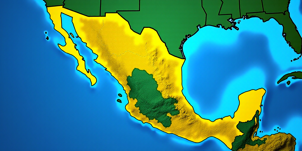
Overview of the Winter Weather Event
The third winter storm of the season, in conjunction with Cold Front 30, will bring severe winter conditions across much of the country over the remainder of Friday and through Saturday, January 24th, and Sunday, January 25th. Authorities have issued warnings for freezing temperatures, rain, and strong winds.
Friday and Saturday: Intense Rain, Snow, and Strong Winds in the North
On Friday, January 23rd, and Saturday, January 24th, heavy to very heavy rain is expected in states such as Baja California Sur, Sonora, Chihuahua, Sinaloa, and Durango. There is also a possibility of localized intense rainfall, particularly on Saturday.
The National Weather Service (NWS) warns of the potential for snow or sleet in mountainous regions of Baja California, Sonora, Chihuahua, Sinaloa, and Durango. Ice rain is also forecast for Coahuila, which could lead to slippery conditions and road hazards.
Strong winds, with gusts up to 80 to 100 km/h, are expected in northern states, posing risks of fallen trees, downed billboards, and dust storms. Coahuila also faces the possibility of forming tornadoes or waterspouts, mainly during the night on Friday.
Sunday: Strengthening “Norte” and Cold Extends to the East and Central Regions
On Sunday, January 25th, the third winter storm will begin to move towards the United States. However, Cold Front 30 will traverse the Gulf of Mexico coast, causing very strong and intense rainfall in Veracruz, Puebla, Oaxaca, Chiapas, and Tabasco. A prolonged “Norte” event is also expected, with wind speeds of 70 to 90 km/h and high waves along the Gulf and Isthmus of Tehuantepec coasts.
Freezing to very cold temperatures will persist overnight, with severe frost in mountainous regions of the north, potentially dropping temperatures to as low as -15°C. In central regions, including the Valley of Mexico, temperatures are expected to be near or below freezing.
CDMX Activates Alert for Low Temperatures
In this context, the Secretariat of Integral Risk Management and Civil Protection of Mexico City has activated a Level Orange alert for low temperatures during Friday morning and Saturday, January 24th, in the Tlalpan alcaldía. Temperatures are expected to range between 1°C and 3°C from 01:00 to 09:00.
Level Yellow alerts remain in effect for Alvaro Obregón, Cuajimalpa, Magdalena Contreras, Milpa Alta, and Xochimilco, with temperatures estimated between 4°C and 6°C during the same period.
City officials advise residents to dress in multiple layers, avoid rapid temperature changes, stay hydrated, consume vitamin A and C-rich foods, and exercise caution when using heaters or fireplaces, ensuring proper ventilation. In case of emergencies, remember to contact 911, Locatel (55 5658 1111), or SGIRPC (55 5683 2222).
Key Questions and Answers
- What is causing the severe weather conditions? The third winter storm of the season, combined with Cold Front 30, is bringing freezing temperatures, heavy rain, and strong winds.
- Which regions will be most affected by snow and ice? Mountainous areas in Baja California, Sonora, Chihuahua, Sinaloa, and Durango, as well as Coahuila, face the possibility of snow or sleet.
- What wind speeds and associated risks are expected? Strong winds, with gusts up to 80 to 100 km/h, pose risks of fallen trees, downed billboards, and dust storms in northern states. Coahuila may experience tornadoes or waterspouts.
- What temperatures and weather conditions are expected in central regions? Freezing to very cold temperatures will persist, with potential frost in mountainous regions and near or below-freezing temperatures in central regions, including the Valley of Mexico.
- What alerts have been issued in Mexico City? The Secretariat of Integral Risk Management and Civil Protection has activated Level Orange alerts for low temperatures in Tlalpan and Level Yellow alerts in Alvaro Obregón, Cuajimalpa, Magdalena Contreras, Milpa Alta, and Xochimilco.


