
Overview and Relevance
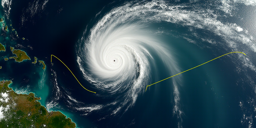
The Mexican states of Jalisco and Baja California Sur are on high alert as Tropical Depression Diez-E forms off their Pacific coast. This weather system, reported by Mexico’s National Weather Service (SMN), is expected to intensify and potentially become a tropical storm by early Monday, August 25. The depression is currently located approximately 625 kilometers southwest of Playa Perula, Jalisco, and 765 kilometers south of Cabo San Lucas, Baja California Sur.
Movement and Impact
The depression’s cloud bands are moving west-northwest at 22 km/h. Although the system is forecast to travel parallel to Mexico’s coastline, it may still bring heavy rainfall, strong winds, and rough seas to the affected regions. The SMN has urged local authorities in neighboring Pacific states to take necessary precautions and inform the public about potential hazards.
Recommendations from Authorities
Following the guidance of the National System of Civil Protection, authorities in Jalisco and Baja California Sur have advised residents to stay vigilant and adhere to safety measures issued by local officials. These precautionary steps aim to minimize risks associated with the approaching tropical depression.
Key Questions and Answers
- What is a tropical depression? A tropical depression is a low-pressure weather system characterized by organized clouds and thunderstorms, with maximum sustained winds of 38 mph (62 km/h) or less.
- Why should Jalisco and Baja California Sur be concerned? These states are expected to experience heavy rainfall, strong winds, and rough seas due to the proximity of Tropical Depression Diez-E. Authorities have advised residents to take necessary precautions.
- What actions should residents in affected areas take? Residents are encouraged to stay informed about local weather updates, follow instructions from authorities, and prepare for potential hazards such as flooding and power outages.
- How will the tropical depression impact other regions? Although the system is forecast to travel parallel to Mexico’s coastline, it may still cause localized weather disturbances in neighboring states. Authorities have been advised to monitor the situation closely.
Background on Tropical Cyclone Formation
Tropical cyclones, including tropical depressions, typically form over warm ocean waters near the equator. These systems draw energy from the heat in the ocean’s upper layers, which evaporates and rises, creating an area of low atmospheric pressure. As this process continues, the system can intensify into a tropical storm or hurricane, depending on wind speeds. In this case, Tropical Depression Diez-E is expected to strengthen and potentially impact Mexico’s Pacific coast.


