
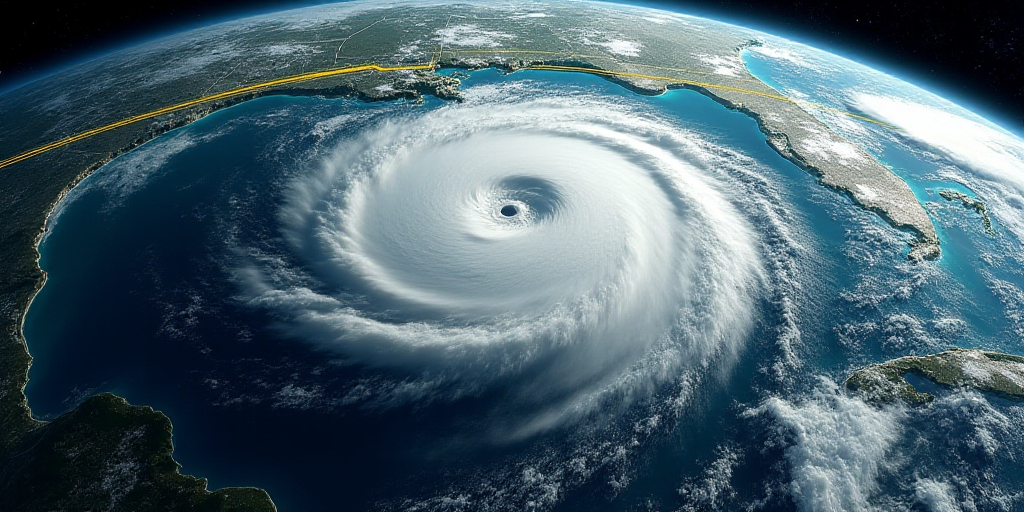
Overview of Tropical Depression Six-E
According to the National Weather Service (SMN), Tropical Depression Six-E formed in the Pacific Ocean at 3:00 AM on Sunday, approximately 435 kilometers south of Acapulco and 385 kilometers south-southwest of Punta Maldonado, Guerrero. The system has maximum sustained winds of 45 km/h, gusts up to 65 km/h, and is moving northwest at a speed of 19 km/h.
Heavy Rains and Strong Winds Forecasted in Five States
The associated cloud bands and moisture transport by Tropical Depression Six-E will bring intense rainfall (75 to 150 mm) in the northeastern, eastern, and southern regions of Michoacán; the coastal and northern areas of Guerrero; and the northern, central, and coastal regions of Oaxaca. Additionally, very heavy rainfall (50 to 75 mm) is expected in Jalisco and Colima.
Alongside the heavy rains, winds of 40 to 50 km/h with gusts up to 60 to 80 km/h, and elevated wave heights of 2.5 to 3.5 meters are anticipated along the coasts of Guerrero and Oaxaca.
Potential Intensification into Tropical Storm Flossie
In the next 24 hours, Tropical Depression Six-E may strengthen and intensify into Tropical Storm Flossie, moving parallel to the coasts of Guerrero, Michoacán, and Colima. By Tuesday, it will be closest to the Mexican coastline, particularly offshore Jalisco.
As a precautionary measure, in coordination with the National Hurricane Center of the United States, a preventive zone for tropical storm effects has been established from Zihuatanejo, Guerrero, to Manzanillo, Colima.
Monitoring Depression Tropical Dos in the Atlantic
Concurrently, in the Atlantic Ocean, Depression Tropical Dos is located 85 kilometers north-northeast of Veracruz and 200 kilometers southeast of Tuxpan. It has maximum sustained winds of 55 km/h and gusts up to 75 km/h, moving west-northwest at a speed of 15 km/h.
This system is forecasted to bring torrential rains (150 to 250 mm) in central and southern Tamaulipas, northeastern Puebla, and central and northern Veracruz. Intense rains (75 to 150 mm) are expected in eastern San Luis Potosí, eastern Hidalgo, and Tabasco. Strong winds of 70 to 90 km/h and wave heights of 2 to 3 meters are also anticipated along the central and southern coasts of Veracruz.
Authorities warn that the heavy rains could lead to landslides, river and stream overflows, and flooding in low-lying areas. They urge the public to pay attention to SMN advisories and follow instructions from civil protection agencies.
Key Questions and Answers
- What is Tropical Depression Six-E? Tropical Depression Six-E is a weather system forming in the Pacific Ocean south of Guerrero, with the potential to intensify into Tropical Storm Flossie.
- Which states will experience heavy rainfall? Michoacán, Guerrero, Oaxaca, Jalisco, and Colima will see intense to very heavy rainfall.
- What wind and wave conditions are expected? Winds of 40 to 50 km/h with gusts up to 60 to 80 km/h, and wave heights of 2.5 to 3.5 meters are anticipated along the coasts of Guerrero and Oaxaca.
- What is the potential impact of Tropical Depression Six-E? The system could bring landslides, overflowing rivers and streams, and flooding in low-lying areas.
- What is Depression Tropical Dos in the Atlantic? Depression Tropical Dos is another weather system in the Atlantic Ocean, bringing torrential to intense rains and strong winds to central and southern Mexico.


