
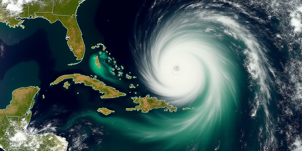
Overview of the Situation
The National Water Commission (Conagua) announced on Sunday afternoon that Tropical Storm Narda has formed in the Pacific Ocean. This weather system is already causing heavy rainfall and high seas along southern Mexico.
Current Position and Movement
At 3:00 PM (Central Time, Mexico), the center of Narda was located approximately 390 kilometers south-southeast of Zihuatanejo, Guerrero, and 440 kilometers southeast of Lázaro Cárdenas, Michoacán. The storm has maximum sustained winds of 65 km/h, with gusts up to 75 km/h, and is moving northwest at 17 km/h.
Affected Regions and Risks
Narda’s rainbands will bring:
- Heavy Rains (75 to 150 mm) to eastern Oaxaca and southern Guerrero.
- Very Heavy Rains (50 to 75 mm) to Michoacán.
- Wind gusts of 40 to 60 km/h and wave heights of 2 to 3 meters along the coasts of Oaxaca and Guerrero.
Due to these weather conditions, authorities have warned that landslides, river and stream overflows, and flooding in low-lying areas could occur. Conagua and the National Meteorological Service urge residents in affected states to stay informed through official channels and follow the guidance of civil protection authorities to avoid risks.
Who is Conagua, and Why is This Relevant?
Conagua is Mexico’s national water agency, responsible for managing and conserving the country’s water resources. Their timely warnings about Tropical Storm Narda are crucial for ensuring public safety and enabling communities to prepare for potential impacts.
Impact on the Affected Regions
Oaxaca and Guerrero are states in southern Mexico known for their rich cultural heritage, stunning landscapes, and vibrant communities. Heavy rainfall and high waves can cause significant disruptions, including:
- Landslides and mudslides, threatening infrastructure and homes in mountainous areas.
- Overflowing rivers and streams, leading to flooding in low-lying regions.
- Disruptions to transportation and communication networks, isolating communities.
- Damage to agriculture and local economies due to flooding and strong winds.
These impacts can have long-lasting effects on the affected regions, highlighting the importance of heeding Conagua’s warnings and preparing for potential consequences.
Key Questions and Answers
- What is Tropical Storm Narda? Tropical Storm Narda is a weather system forming in the Pacific Ocean, characterized by heavy rainfall and high seas.
- Where is Narda currently located? As of the latest update, Narda is situated approximately 390 kilometers south-southeast of Zihuatanejo, Guerrero, and 440 kilometers southeast of Lázaro Cárdenas, Michoacán.
- Which regions will be affected by Narda? Heavy rains and high waves are expected in eastern Oaxaca, southern Guerrero, and Michoacán.
- What risks does Narda pose? Potential hazards include landslides, river and stream overflows, flooding in low-lying areas, and damage to infrastructure, agriculture, and local economies.
- Who issues warnings about Tropical Storm Narda? The National Water Commission (Conagua) and the National Meteorological Service provide timely updates and safety recommendations.


