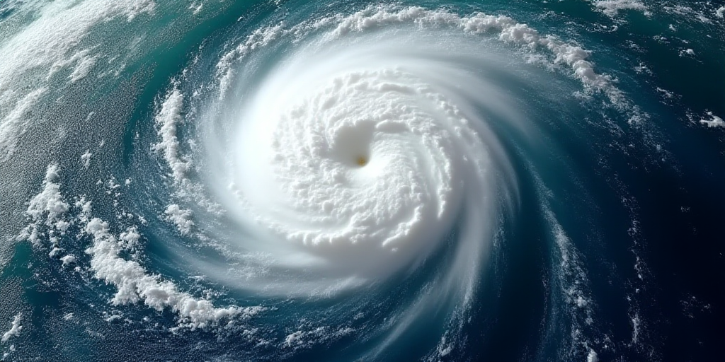
Overview of Hurricane Erin
Hurricane Erin has been downgraded to a Category 2 storm with maximum sustained winds of 110 mph (175 kph), according to the National Hurricane Center based in Miami. The storm is currently located approximately 720 miles (1,155 km) south-southeast of Cape Hatteras, North Carolina.
Recent Developments and Impact
On Tuesday, the National Hurricane Center reported that Erin is expected to strengthen as it moves across the western Atlantic throughout the week. The hurricane lashed Caribbean islands with strong winds and heavy rainfall on Monday, raising concerns about storm surges and flooding along the U.S. East Coast, even without a direct landfall.
Erin is the first major hurricane of the Atlantic season, intensifying over the weekend to briefly reach Category 5, the highest level on the Saffir-Simpson scale, before weakening.
Potential Impact on the U.S. East Coast
As Hurricane Erin continues to gain strength, coastal residents from North Carolina to New England are being advised to monitor the storm’s progress closely. Although no direct landfall is currently predicted, the potential for dangerous storm surges and heavy rainfall remains a significant concern.
- Who is Hurricane Erin? Hurricane Erin is a tropical cyclone currently located in the western Atlantic Ocean. It was initially classified as a Category 5 storm, the strongest classification on the Saffir-Simpson Hurricane Wind Scale.
- Why is Erin relevant? Erin is the first major hurricane of the 2023 Atlantic hurricane season, highlighting the early intensity of this year’s storm activity. Its rapid intensification and subsequent weakening demonstrate the unpredictable nature of tropical cyclones.
- How does Erin impact others? Hurricane Erin poses a threat to coastal communities along the eastern United States through potential storm surges, heavy rainfall, and coastal flooding. Even without a direct landfall, the storm’s effects can still cause significant disruptions and damage.
Key Questions and Answers
- What is the current status of Hurricane Erin? Hurricane Erin has been downgraded to a Category 2 storm with maximum sustained winds of 110 mph (175 kph). It is currently located approximately 720 miles (1,155 km) south-southeast of Cape Hatteras, North Carolina.
- What are the concerns regarding Hurricane Erin’s path? As Erin moves across the western Atlantic, there is a risk of increased strength, which could lead to dangerous storm surges and heavy rainfall along the U.S. East Coast.
- Why should coastal residents be cautious? Although no direct landfall is currently predicted, Hurricane Erin’s potential for storm surges and heavy rainfall necessitates vigilance and preparation among coastal communities from North Carolina to New England.


